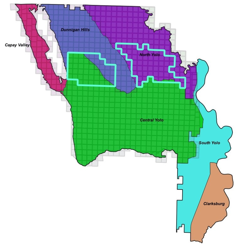
Well Completion Report Data for Hungry Hollow and Yolo Zamora
YSGA staff recognize there are data gaps within the Yolo Subbasin. To fill in data gaps, YSGA staff have downloaded all available completion reports (WCRs) throughout the entire subbasin from DWR’s Online System for Well Completion Reports (OSCWR). Using these WCRs, the YSGA is updating the YCFCWCD (District) WCR database. The District database has not been updated since the 2000s and is currently reliant on OSCWR for the accuracy of where each of the WCRs are spatially located. OSWCR is known for not assigning the location of WCRs with a high degree of certainty and often assigns WCR locations to the center point of the Township Range Section, especially if it’s an older WCR. Through efforts to better understand the hydrogeologic conditions in Hungry Hollow, YSGA staff recognized that there are now significantly more WCRs available than what had been captured in the District’s database. This data is being compiled to do the following:
· Spatially locate with greater accuracy than OSCWR where each WCR is located
· Extract all relevant well information from each WCR and assign that data to the proper WCR location
To get this effort started, YSGA staff completed this exercise for all WCRs in the Hungry Hollow and Yolo-Zamora areas (Map 1) and used this data to develop detailed, draft hydrogeologic cross sections to better understand the subsurface lithology and groundwater dynamics. This will be done throughout the entire subbasin to update the hydrogeologic conceptual model for the GSP and the Yolo Subbasin Model over the next three years. By completing this effort, YSGA staff anticipate developing a much more detailed understanding of the Yolo Subbasin groundwater dynamics and, in turn, develop a much more effective model that will be useful for developing and evaluating potential implementation of project and management actions with a greater degree of certainty.
This data may be useful to landowners considering drilling a well and for geologists/hydrogeologists preparing a YSGA Tier 2 Hydrogeologist Report (or Yolo County Department of Environmental Health Hydrogeologist Report) for a well in these areas. Please click the links below to download data within the area of interest:
***Note data and interpretations are considered DRAFT and are subject to modification and change at any time***
Map 1: